Everyone who’s ever camped with me knows that I’m a light sleeper… You have to be on your toes to make sure you’re ready to run when the zombies and axe murders show up. So basically anytime anyone unzips their tent or talks or walks around, I have one eye open. You’ll get to the point where you’re still too tired to open your eyes, but you’re definitely not dreaming like you wish you were… And the sleeping bag is toasty warm and the outside is friggin’ cold and your bladder is starting to talk to you… Eventually the bladder always wins!
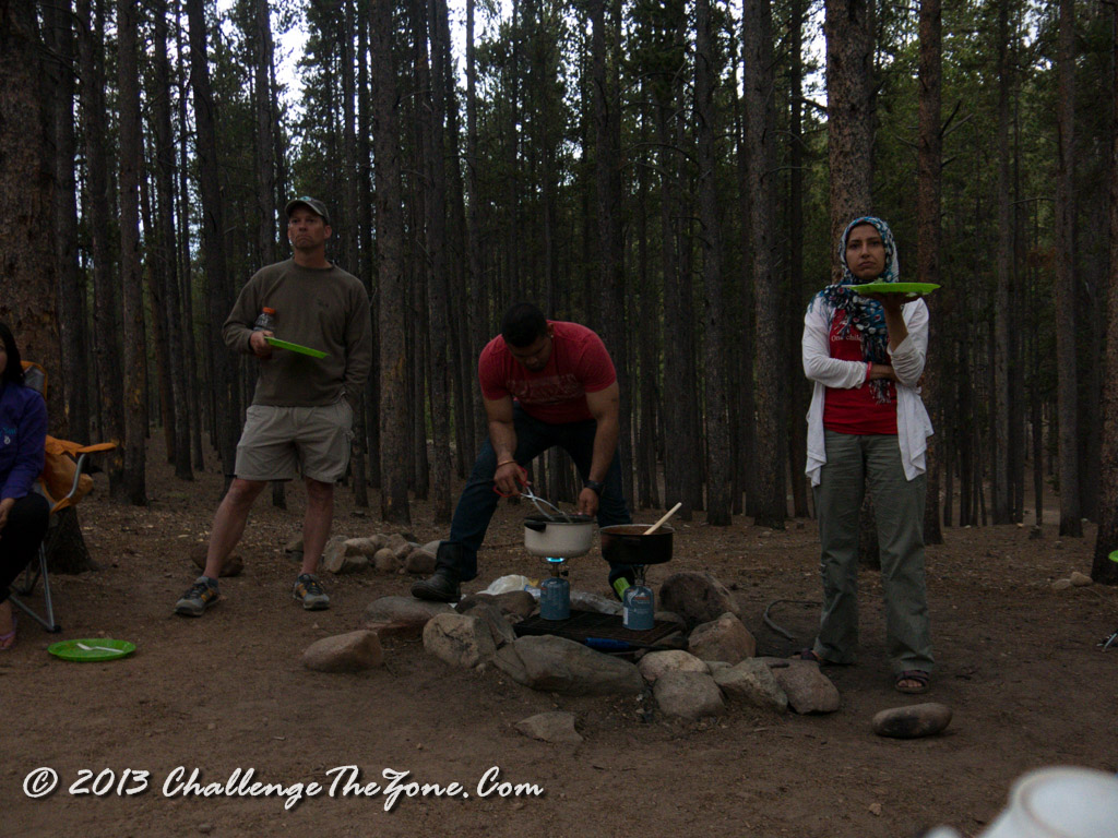
So we get up around 3 and start eating breakfast. My diet’s a bit more structured than the rest of the group so I go off to cook my oatmeal, eat my grapefruit, and munch down some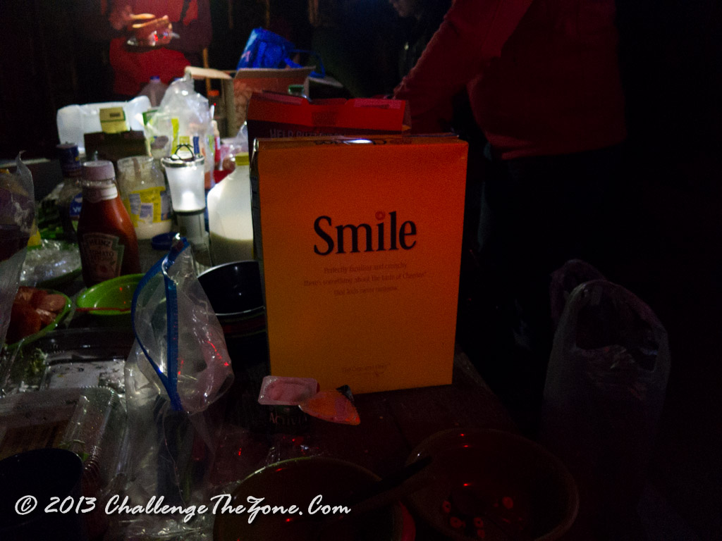 macadamia nuts and some beef jerky. I finish in about 10 minutes. The rest of the group was busy making sandwiches for the hike (I had a tuna fish packet, a carrot, and a cucumber for lunch). As well as grabbing granola bars (I had a 50/50 mix of cranberries and salted almonds). FYI: Tunafish sucks when you’re hiking. It has nothing but tuna flavor. I recommend bringing some salsa or something to mix with it. Their breakfast was cold cereal and juice with some fruit. Pretty good if you ask me. We soon head out, and by the time we reach the trailhead, the sky is just starting to light up. Unlike when we hiked Longs peak last year, this year we’re hiking up the West side of the mountain so we don’t see the sunrise over the plains. Instead we see the clouds lighting up against the dark mountain.
After some last minute potty breaks, we head out. We’re all talking about how it’s only about four miles to the top and four thousand feet of elevation change and we’re walking across a marshy field and debating about how it’s going to be if it’s four thousand feet of elevation change and only three miles… the steeper it is the tougher it can be.
 As we’re going up, the sunrise gets better and better, and a small rain shower moved in to give us a great view. Right when two of our group are taking a leak in the scrub brush! 😀 Nice pot of gold at the end of the rainbow!


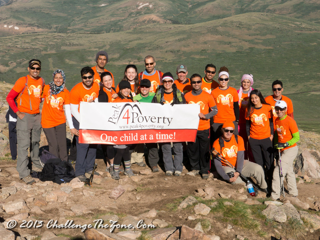 Overall the group did really well and we got to the summit before noon. We all ate lunch up there and were basically chilling and relaxing and watching a thundercloud move in. While we were debating whether or not it was heading our way or if we’d have time to get to Evans before it did if it was there was a man who was with a group to our right. He got up and told the group he’d be right back…
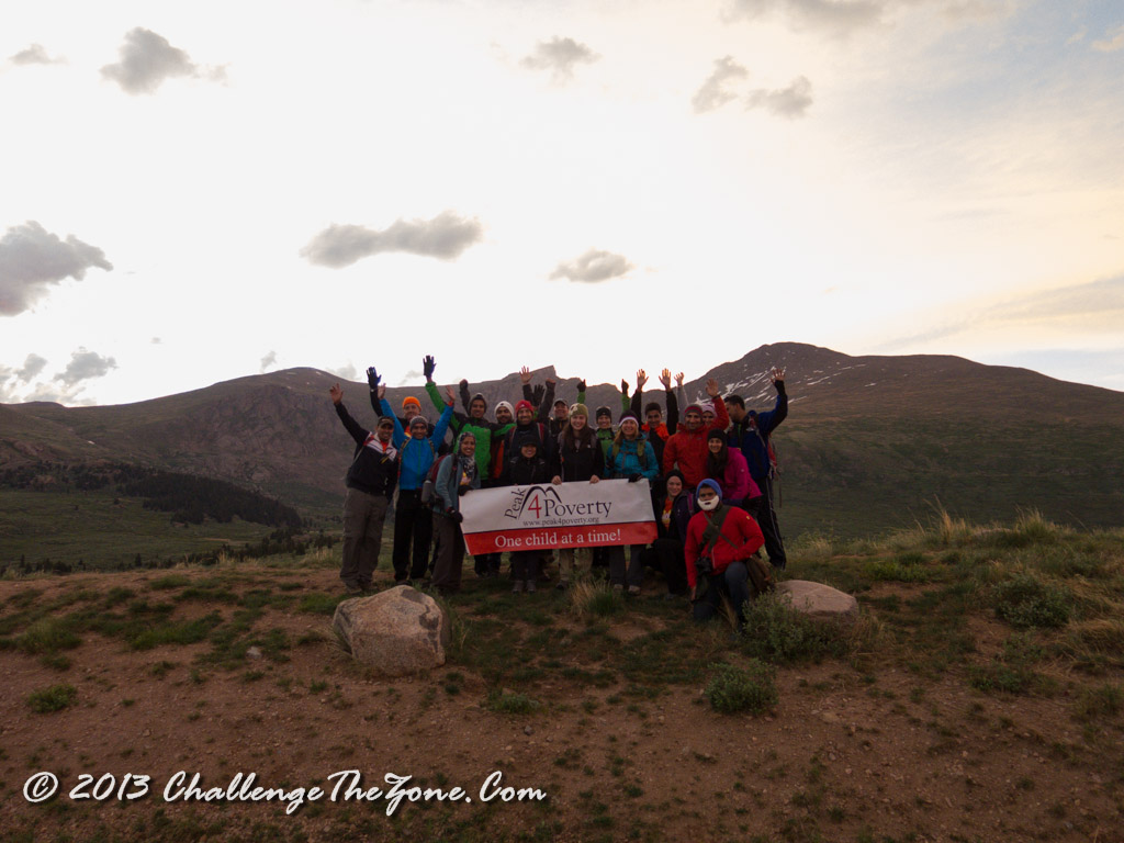
We all watched as he hopped along the top of the peak over to one side where he busted out a suit and a tie and put it on. Then he hopped back over to his group, which were kinda wondering what’s up with the tie and everything… where he promptly proposed to his girlfriend! Everyone on the top was cheering as she was shocked and surprised and said Yes! Then while we were all cheering we heard a huge thunder crash and saw some lightning strike lower on the mountain. Needless to say, that shut up everyone and we all had a few seconds of silence while we contemplated our own mortality and the concept that the treeline was almost four miles a way. Promptly someone said rather loudly, “Lets get out of here!” to which everyone agreed and though that it was probably a good idea. Simultaneously we all stood up, grabbed our packs; I took a last group picture, and we headed off the peak.
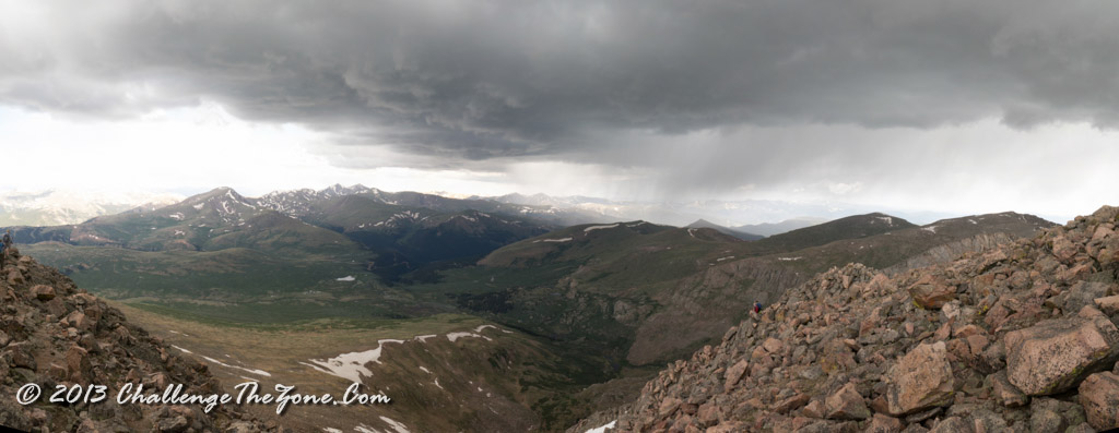
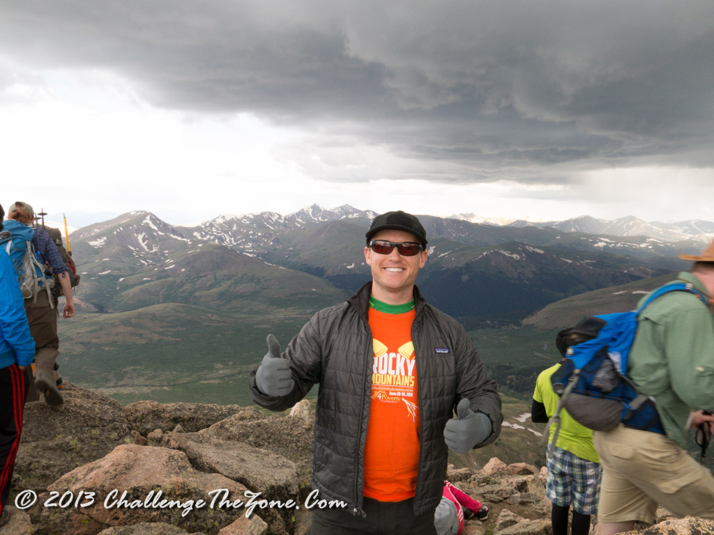 Now there are different ways of going down the mountain depending on your comfort and experience level. There was a lot of calm, rational, easy going people, who were hiking down the trail one step at a time… and there there were a few nutcases like the Peak 4 Poverty photo guy who was boulder jumping down as fast as his legs could carry him. Either way, it didn’t really matter as we only got about 100 meters when the hail storm started wailing on us.
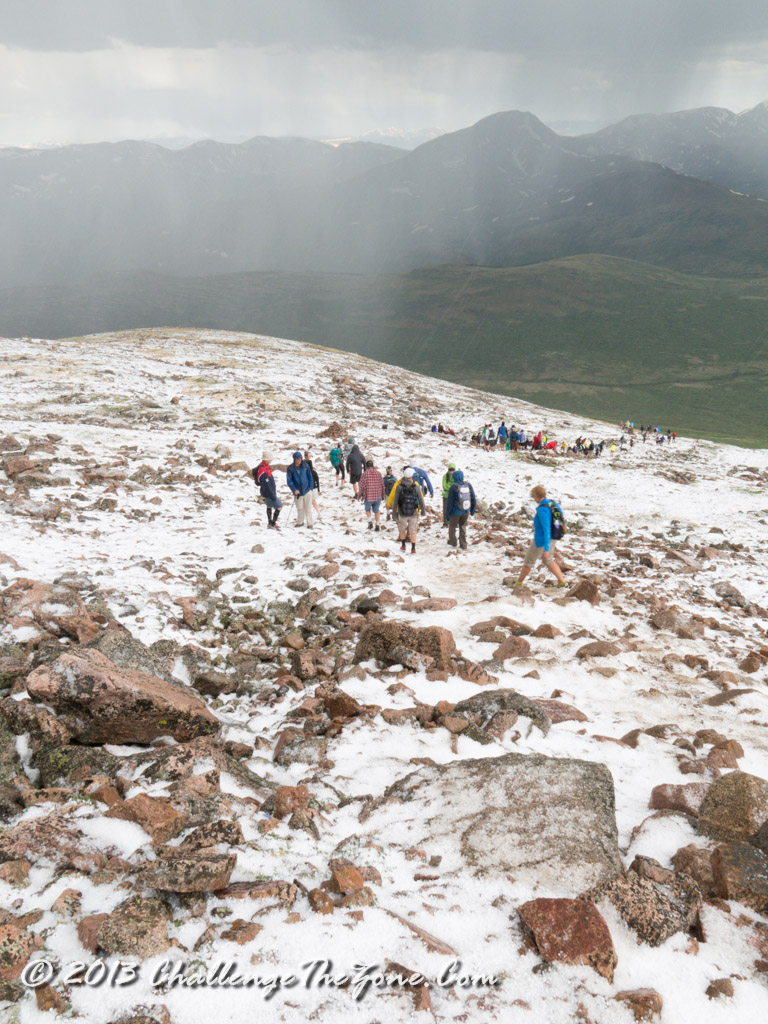 I passed a little kid who was only 7 (and a real trooper) who was partially being sheltered by his father. The kid was taking it in stride and as I passed I heard this conversation:
Kid: “Wow! I can’t wait to tell mom!”
Dad: “Um… maybe we shouldn’t tell mom about the hail…”
Kid: “Why not!”
Dad: “Because she won’t let us do any more hikes…”
There’s danger everywhere and if you don’t embrace that then there’s no reason for you to live your life anyway. I got ahead of the group and was watching to make sure I wasn’t near anyone who was holding on to metal hiking poles while the thunder and lightning was going on. Eventually, I found a few others and we regrouped and hiked together from there. We arrived at the vans in several different groups and once we were all there we expressed dismay about not going to the Sawtooth and a few were suffering from altitude sickness. So we decided that we’d drive to Mt. Evans (which contains the highest road in the continental US.)
The drive to Mt. Evans took a long time… Probably longer than it would have taken to hike it from Mt. Bierstad… Just sayin’ (1 mile hike vs, 50 mile, 2 hour drive)

Once we arrived at the top of Mt. Evans, everyone did another dash to the bathroom as we’d all been making sure to hydrate ourselves after the hike. We took a quick pic and there was a display that pointed out where Longs Peak was (woot!) From the parking lot you can’t see Mt. Bierstadt so a few of us decided to hike the extra 200 meters to the summit and take some pictures.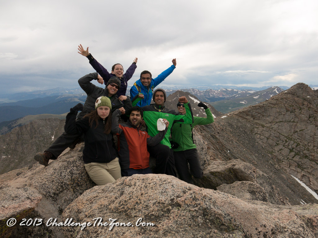
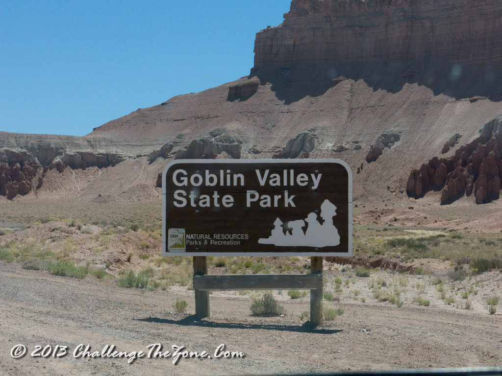
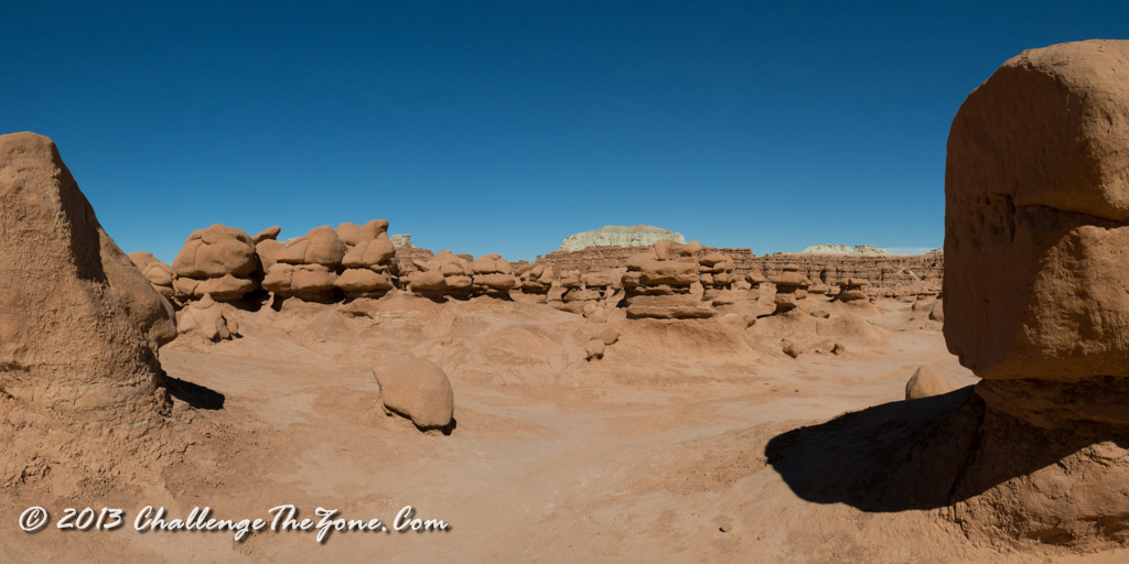
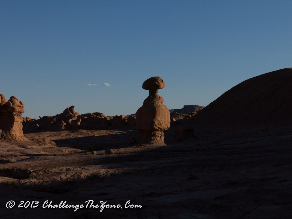
There were some amazing views from up there. I took some time alone on the top to reflect on the idea that I was sitting on top of a mountain in the rocky mountains where as just a couple of days ago I was in the sweltering heat of goblin valley. The ability for us to travel in this day and age is awesome to say the least!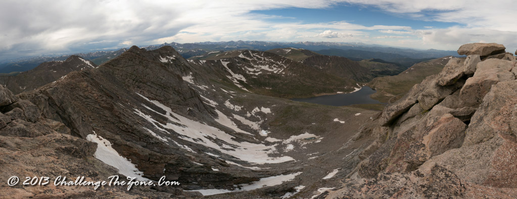
We quickly went back down and then headed back to the campsite. Funny enough, the other groups got lost and ended up getting to the campsite a little after we did. We all go together for some tasty hamburgers and I pulled out the sweet potato chips and had ourselves some delicious grub.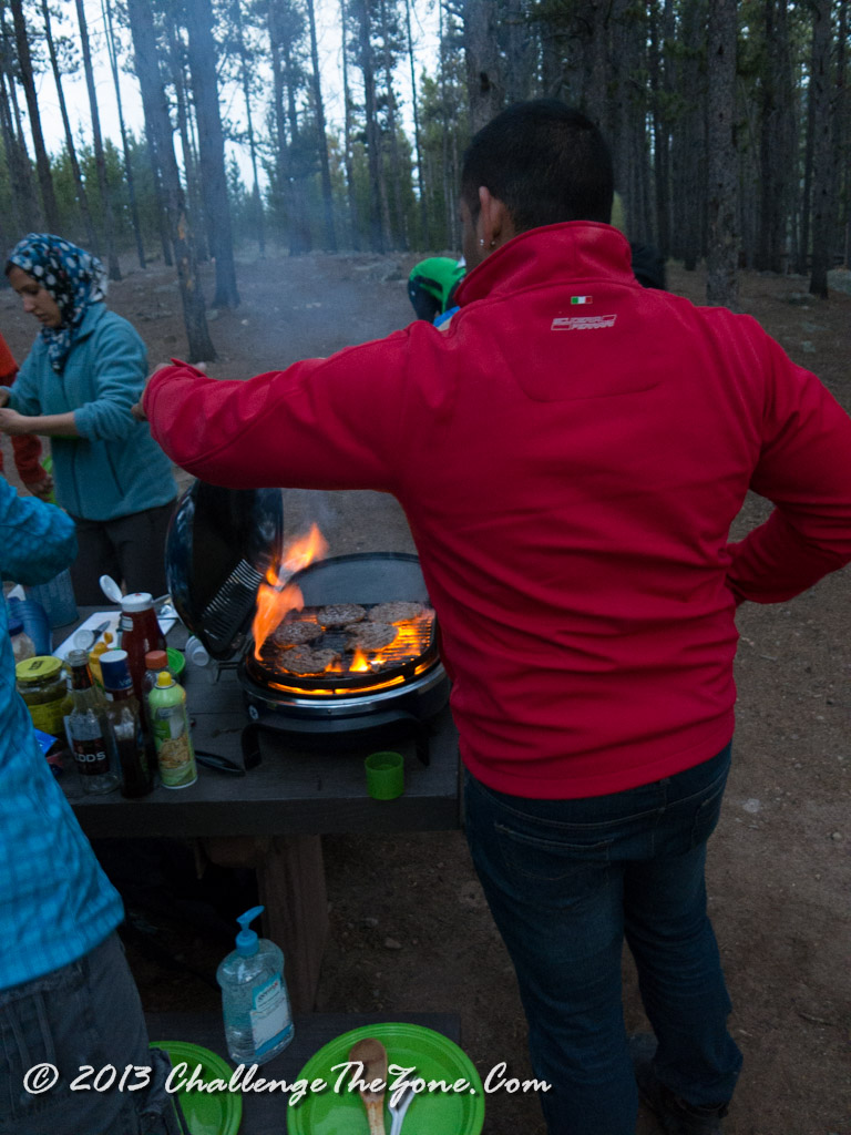
In the end it was an epic hike with rainbows and hailstorms, with some of the most generous and awesome people I know and I think we all took away some great stories from this great time.
After dinner, it was dark, and lacking a campfire and being awake since 3:00, everyone was asleep pretty quick.
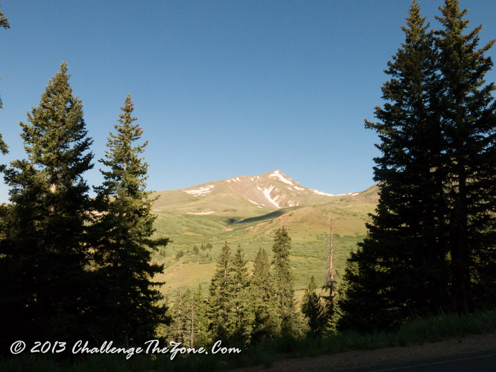 All good things must come to an end. The Chicago group and Des Moines Group left early. We all got up and started taking down the tents. The Denver group headed out the night before as they can just go home quickly. The flying group and the California group were the last to leave. As I left I stopped to enjoy the sun rising over the Rockies! As my mother listened to John Denver when I was a child, his song, “Rocky Mountain High” always crosses my mind whenever I’m here. Particularly the lyrics: